PRESQUE ISLE, Maine — After last year’s drought, farmers, gardeners, water utility managers and anyone who cares about regular rainfall may be hopeful for this summer and the seasonal precipitation forecast from the National Weather Service’s Climate Prediction Center.
From June through August, the whole state of Maine has a roughly 40 percent chance of above average rainfall, along with the rest of the Northeast, according to the Climate Prediction Center. The state also has a roughly 50 percent chance of above average temperatures, according to the forecast.
But don’t put away the garden hoses just yet, unless you’re planning to generously mulch everything you plant.
Long-range forecasts beyond one or two weeks are difficult and include inherent uncertainty, said Corey Bogel, a forecaster with the National Weather Service in Caribou.
Bogel and other forecasters at local NWS offices focus on near-term weather forecasting looking out several hours to a week in the future. The NWS’s Climate Prediction Center in Maryland handles all of the agency’s long-range forecasting, such as monthly and seasonal outlooks.
“They have us in an area with 40 percent chance of above average rainfall. It’s just slightly tipping the odds,” Bogel said of the seasonal precipitation outlook.
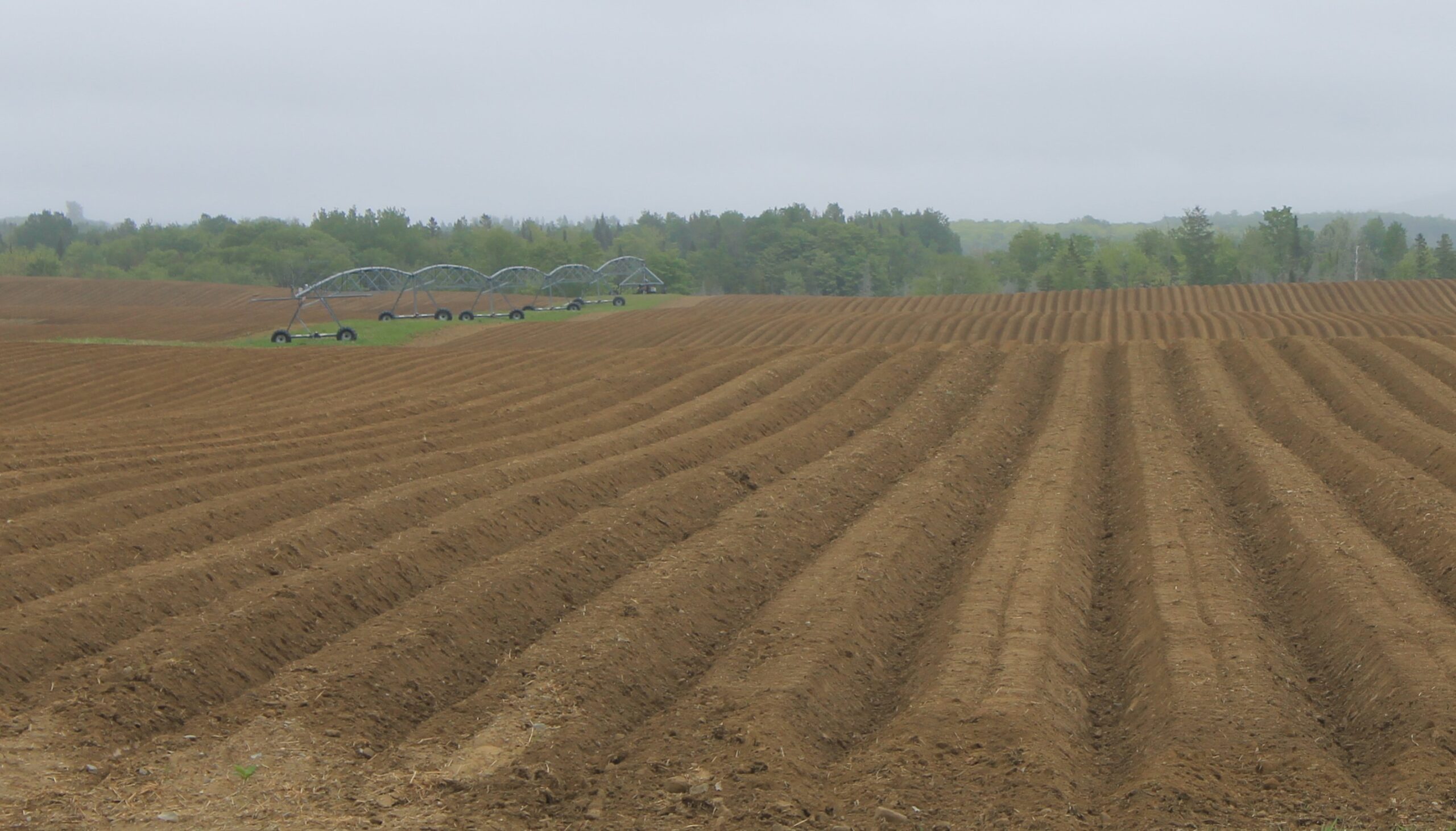
On average, Caribou sees more than 11 inches of rain in June, July and August. But last year, Caribou saw 9.29 inches of rain in those months, making it the thirteenth driest summer on record.
Longer-range forecasts tend to be less accurate and have more uncertainty than short-term forecasts — particularly when it comes to summer precipitation, Bogel said.
The Center for Climate Prediction “has good skill in winter,” as winter storms tend to be more regional, Bogel said. However, when it comes to summer storms, which can be highly-localized, long-range forecasting comes with a higher margin of uncertainty.
“With hurricanes, even just predicting where they’re going to land is difficult to predict with long-range certainty,” Bogel said.
Seasonal precipitation outlooks rely in part on statistical comparisons of past weather observations, Bogel said. “One common tool is to look at the past 10 to 15 years worth of records compared to the 30 year average.”
In winter and spring, long-term forecasters also can turn to the current trends of La Nina and El Nino, which drive the cooling and warming, respectively, of the equatorial Pacific Ocean and in turn influence global weather systems.
“That can really drive the jet stream over the winter and spring months,” Bogel said.
In near-term precipitation forecasting, weather scientists like Bogel use tools that include weather radar and satellite imagery.
“We also rely quite a bit on weather spotters,” people who serve as weather observers on the ground, Bogel said.
Forecasting precipitation in the summer also can be fraught with uncertainty and leave people wondering why they drove through a heavy downpour only to find their home lawn and gardens seemingly dry.
“During warmer months, storms tend to me more localized,” Bogel said. “ Some areas can get hit with a lot of rain. A mile or two down the road, they can get none.”
Bogel said that people interested in learning more about understanding weather can attend one of the National Weather Service’s regular weather spotter’s events. The next one in Caribou is being held June 7, at 5:30 p.m at the National Weather Service Office at 810 Main Street, Caribou.
-
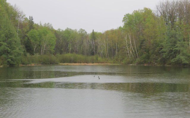
- A group of ducks make their way across Mantle Lake as rains recede in Presque Isle around noon Wednesday, May 23. (Anthony Brino)