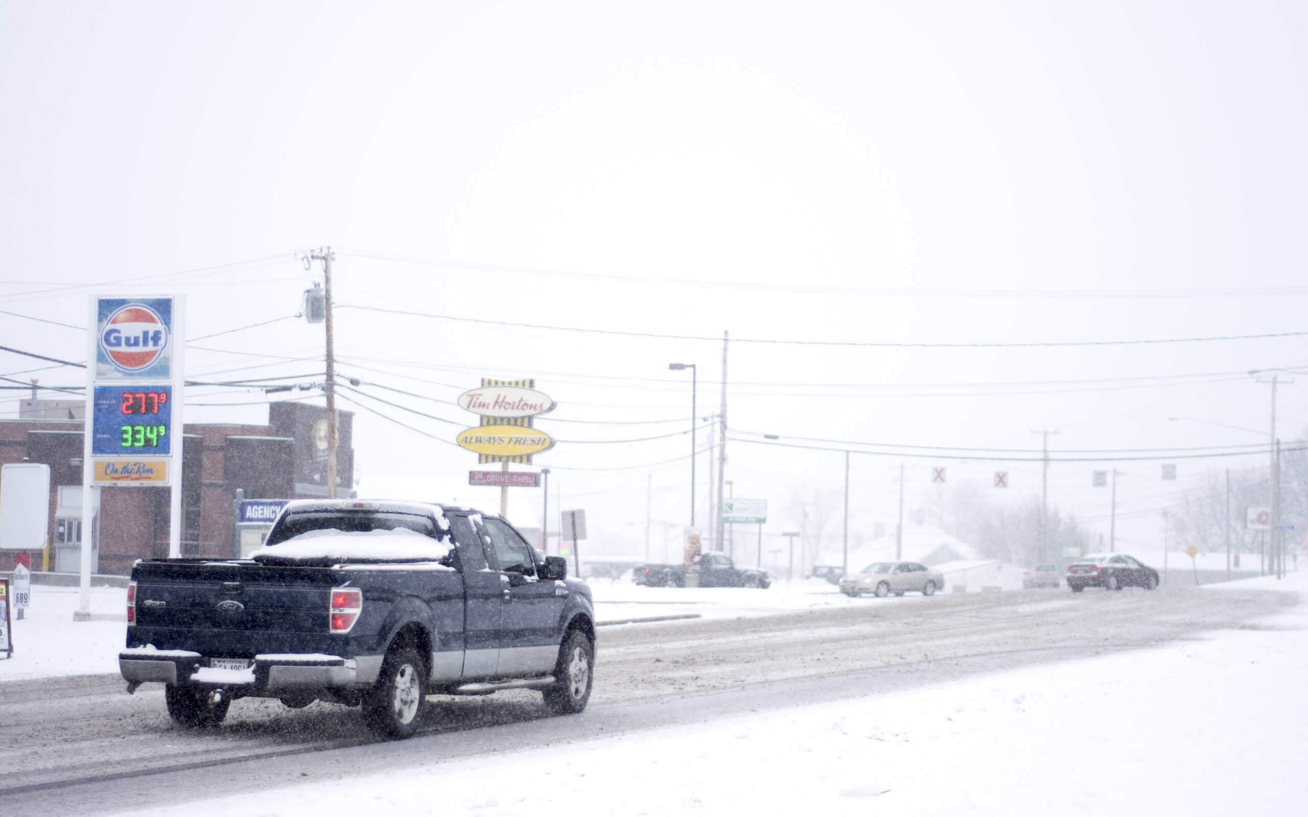
Just when you thought spring was here to stay, winter pulled you back in Monday, bringing as much as a foot of snow to parts of Maine.
The National Weather Service has placed Washington County, central and northern Penobscot County, Piscataquis County and the western mountains under a winter storm warning. A winter weather advisory is in effect for the remainder of the state until Tuesday morning.
Monday's event will have highest snowfall totals concentrated in the west-central Highlands and North Woods, spreading into Southern Aroostook. A mix is anticipated for Downeast, with slick conditions expected. Reminder that https://t.co/aazl5nwASK is still being updated! #mewx pic.twitter.com/o7xxenLfNe
— NWS Caribou (@NWSCaribou) April 7, 2019
Snow began to fly about 8:30 a.m. over Greater Bangor, where forecasters now expect as much as 7 inches of fresh powder to make up for the melting in recent days, according to the weather service office in Caribou.
Heavier snow is expected along the Down East coast, where up to 8 to 9 inches is forecast to accumulate from Machias to Eastport and Calais. Over Mount Desert Island, the snowfall will be lighter, with only about 5 inches expected to accumulate. That snowfall could turn into a wintry mix by the evening, bringing sleet that the forecasters warned could create icy roads in time for the commute home.
But the accumulation will be heaviest in the central part of the state, with up to 10 inches expected in Greenville in Piscataquis County and up to 10 inches in Millinocket and 9 inches in Lincoln in Penobscot County, according to the weather service. Meanwhile, the western mountains could see anywhere from 8 to 12 inches of snow by the end of Monday.
Timing of precipitation entering the region tonight… pic.twitter.com/an7rgQKPAe
— NWS Gray (@NWSGray) April 7, 2019
Up in Aroostook County, where it has been a long, snowy winter, the snowfall will taper closer toward the Canadian border, with the accumulation expected to top out around 5 to 6 inches from Fort Kent to Van Buren. The snowfall could get heavier toward southern Aroostook, with up to 7 inches expected in Presque Isle and 8 inches in Houlton, according to the weather service.
Caribou has had continuous snow cover since Nov. 10, 2018, and about 23 inches of snow remain on the ground in a region that has seen 158.5 inches over the course of the season, according to the weather service. The new snowfall on Monday could push that total into third place behind 1955 and 2008, the weather service said Sunday.
Colder air will push south Monday morning, turning rain into snow over parts of southern Maine, according to the weather service office in Gray. As a result, more snow is expected to accumulate Monday in the southern part of the state than anticipated, with 4 to 6 inches forecast to fall over an area ranging from Rumford in Oxford County to Belfast in Waldo County.
Snowfall along the coast will be variable, with less than an inch expected in Portland and up to 3 to 4 inches expected in Rockland, according to the weather service.
In anticipation of Monday’s snowfall, school districts across the state canceled classes.
Highs on Monday will range from the low 20s in the north to the low 30s in the south. The wet weather is expected to stick around the state until Wednesday before giving way to sunny skies and higher temperatures throughout the state Thursday, according to the weather service.
This story was originally published in the Bangor Daily News.