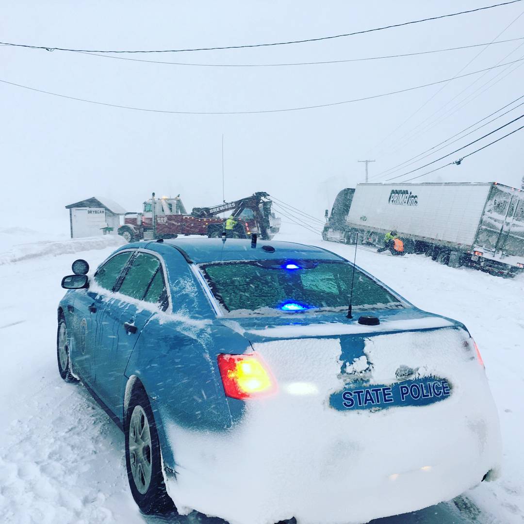
CARIBOU, Maine — Parts of Aroostook County could see a foot or more of snow Monday night through early Wednesday as another winter storm moves through the state.
On Monday morning, much of southern Maine awoke to flurries that were expected to fall continuously throughout the day and accumulate in larger amounts as the storm moves south to north. Bangor was slated to see about 3 inches by Tuesday morning — though much could be swept away by Tuesday rain — whereas areas closer to the Canadian border could see up to 14 inches, according to Rich Norton, a forecaster with the National Weather Service in Caribou.
In advance of the precipitation, the weather service issued a winter weather advisory for the entire state, except for the far north, where a more severe winter storm warning was sent out. The warning covers all put the southeastern portion of Aroostook County and is in effect from 10 p.m. Monday to 1 a.m. Wednesday.
“Heavy mixed precipitation expected,” the warning states. “Plan on difficult travel conditions, including during the morning commute on Tuesday. Total snow accumulations of 8 to 11 inches and ice accumulations of one tenth to two tenths of an inch are expected. Up to an inch of sleet.”
The forecast for southeastern Aroostook, including Houlton, and northern parts of Somerset, Piscataquis, Penobscot and Washington counties is for 4 to 7 inches of snow, with localized amounts up to nine inches, and ice accumulations of up to two tenths of an inch. Up to a half-inch of sleet also could fall.
In Caribou, there is currently 15 inches of snow on the ground, with several inches more on the ground in the St. John Valley, according to NWS Meteorologist Mark Bloomer
“Thus far, we are getting a bit more snow each month than is normal,” Bloomer said, adding that 109 inches of snow typically falls in Aroostook during a normal winter.
Writer Callie Ferguson of the Bangor Daily News contributed to this report.