CARIBOU, Maine — The potential for ice jams this year is above normal, according to the National Weather Service in Caribou.
Based on the third annual Winter-Spring Flood Potential Outlook for 2018 released at the beginning of this month, the likelihood of ice jams is most prevalent in April, according to Meteorologist Priscilla Farrar.
Although the potential for open water remains normal, the potential for possible ice jam flooding is above normal. Overall the month of January ran above normal for all areas with the exception of northwest Maine and across the St. John Valley.
A few storms affected the region in January, and northern areas received up to a foot of snow and up to two inches of sleet in some locations.
Snow depths ranged from 24 to 30 inches across northern and northwest Aroostook County, while further south from the Houlton region down into the central highlands, snow depths ranged from 12 to 18 inches. Snow depths were near normal across northern Maine, while the rest of the region was below normal for late January.
The snow water equivalents, or the amount of water contained in the snowpack, was between 3 to 6 inches across northern Maine. Some areas across northeast Maine came in with 7 inches of snow water equivalent.
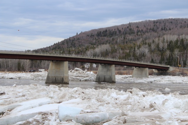
Rivers across northern and Down East Maine were 90 percent snow and ice covered, with some open water noted on the Aroostook River near Ashland and Masardis and along the Fish River south of Fort Kent, according to the NWS. There were small stretches of open water along the St. John River from Madawaska to just south of Fort Kent in northern Aroostook County.