CARIBOU, Maine — The latest winter storm that moved through northern Maine on Wednesday, Feb. 13, gave most areas of Aroostook County another foot or more of fresh snow, according to the National Weather Service in Caribou.
After the snow ceased falling late Wednesday night, the total inch counts were 8.5 for the St. John Valley, 12.9 for Caribou and 15 inches for Houlton. The storm brought Caribou’s total snowfall for the season up to 128.3 inches, which places the 2018-19 season as only the 11th snowiest season on record so far. As of Thursday, the number 10 snowfall record is the 1970-71 season, which saw 134.7 inches.
“We’re still not in the top 10, but Friday’s weather system might put us at number 10 or higher,” said Peter Rahe, observing program leader for NWS.
NWS officials are projecting that an approaching low pressure system will bring around one to three inches on Friday afternoon and then another two to four inches on Friday evening. During the later hours on Friday, the snow likely will mix with rain, increasing the risk of roadways freezing throughout the evening commute. Wind gusts of around 30 miles per hour also will result in blowing and drifting snow and possibly some isolated power outages.
But even the latest winter weather events will not bring Aroostook County much closer to the highest recorded snowfall total for the winter of 2007-08, when Caribou saw 197.8 inches of snow. With no major snowfall predicted for the five-day forecast after Friday, the chances of inching closer to that record are even slimmer, said meteorologist Todd Foisy.
“There’s always potential for us to reach that record, but I wouldn’t say that it’s likely,” Foisy said. “In 2008, we had record snowfall in February, March and early April, but in 2019 we haven’t had a very snowy February. We would have to start having above average snowfall in February, March and early April in order to even get close to the record.”
-
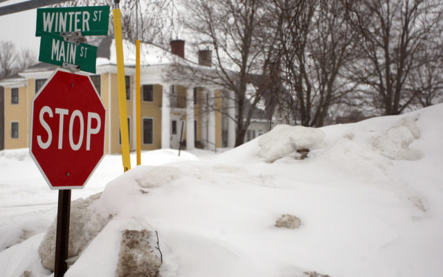
- Winter refuses to stop, despite what this traffic sign in Houlton is clearly asking for. (Joseph Cyr)
-
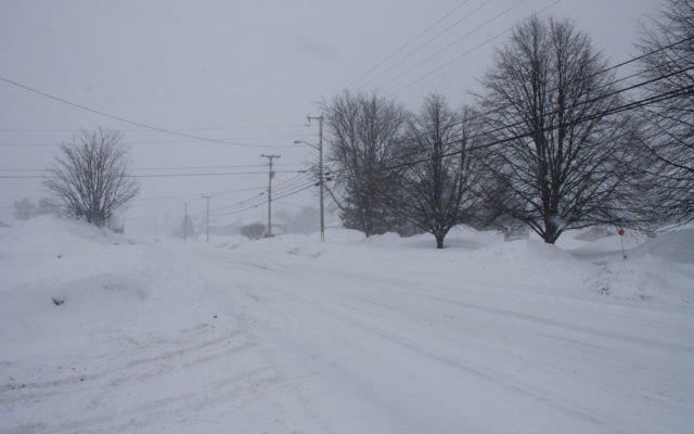
- Several inches of snow has already fallen in Presque Isle on Wednesday morning, with Academy Street seeing little traffic on a day when at least a foot of snow was expected. (Melissa Lizotte)
-
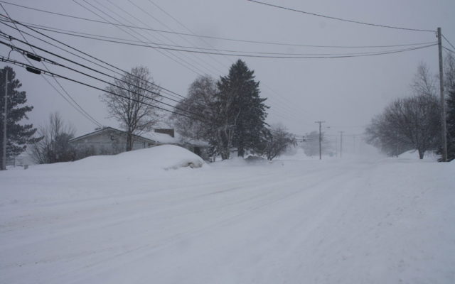
- Academy Street in Presque Isle saw no traffic early Wednesday morning due to the latest winter storm that was expected to dump at least a foot of snow throughout Aroostook County. (Melissa Lizotte)