PRESQUE ISLE, Maine — For nearly 70 years, a region known as Maysville existed between Presque Isle and Caribou until the town became part of Presque Isle. The development of that area from the early to late 1800s played an important role in shaping what people know today as central Aroostook County.
Among the first settlers of the region that became Maysville were Ferdinand Armstrong and Jonathan Parks, whose families had roots in New Brunswick and Nova Scotia in Canada. Since there were no roads, people had to travel down the Aroostook River, which explains why many families made their homes on “the islands of the Aroostook River.” In 1820, Armstrong married Mary Parks, who was Jonathan Parks’ daughter.
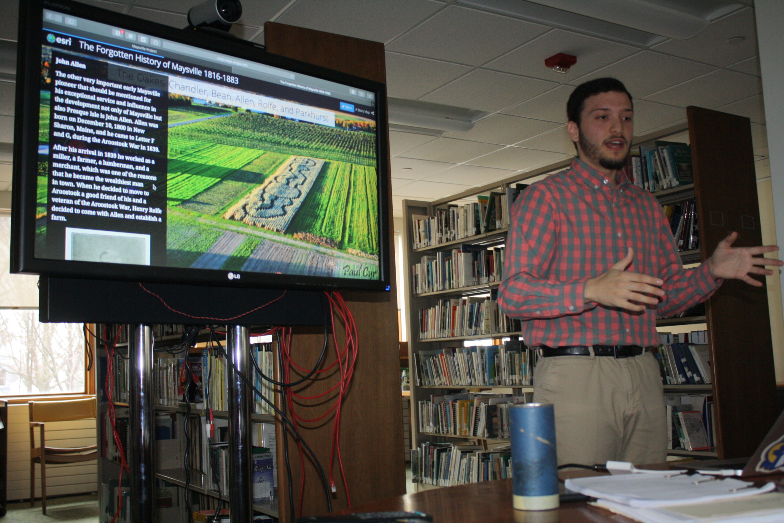
“The families would have followed the river from Woodstock in Canada, all the way up to where the Aroostook and St. John rivers converge and through Fort Fairfield to Maysville,” said Evan Zarkadas, during a presentation at the Mark and Emily Turner Memorial Library on Saturday.
Zarkadas is a history major at the University of Maine at Presque Isle who has spent the past two years researching documents on Maysville to put together what local historians believe to be the first full report to tell the story of the former town. He showcased a digital presentation that includes historical archives, photographs and his own GIS mapping, as well as a written report that he plans to donate to the Presque Isle Historical Society.
The Armstrongs settled on Bradley’s Island, an area that is now Parkhurst Siding Road in Presque Isle. Agriculture soon became the primary means for people to earn a living because of the fertile soil that the rivers continually replenished. By the 1830s, a couple hundred more individuals had come to Maysville after hearing of the reputation the area had gained as a major agricultural center. The state of Maine did not officially incorporate Maysville as a town until 1859, the same year that Presque Isle also gained that status.
Another important figure in Maysville’s history was John Allen, who purchased 1,000 acres of land in 1839 after moving to the area from Hallowell. Allen established the Free Baptist Church in town, assisted in the later creation of roads and bridges and, despite the only transportation being horse-drawn carriages, he traveled to California, where he established another city. The story of how Allen purchased Bradley’s Island is one that Zarkadas found to be a fascinating anecdote.
“Allen brought 100 pounds of tea with him from Hallowell and had no money with him at the time, so that’s what he bought the whole island with,” Zarkadas said. “Today the tea would be worth $25.”
During Maysville’s earliest days most of the settlers came from New Brunswick and Nova Scotia and were most commonly of Irish, German and English descent. The establishments of the Aroostook Bridge in 1860 and the 155-mile long Bangor and Aroostook Railroad after the Civil War encouraged more people from southern Maine to come to Maysville. The region’s population increased from 361 residents in 1850 to 641 residents in 1860, with 1,863 acres of cleared land for potato farming. The area eventually saw the establishment of seven starch factories that supported a booming economy.
The Aroostook War, also known as “the bloodless Aroostook War,” played a large role in Maysville’s growth during the year from 1838 to 1839. Though soldiers never fought or died in any battles, tensions increased after Canadian lumberjacks began transporting lumber from Aroostook across the Aroostook River. Since there was no distinguished border between the two countries, the U.S. government put $10 million toward two blockhouses from which soldiers in Fort Kent and Fort Fairfield guarded the river.
“Tensions became so great that people in Maysville never wanted to use the river to cross into Canada,” Zarkadas said. “So that was the motivation for them to build a road between Maysville and Houlton.”
U.S. Secretary of State Daniel Webster and British Foreign Minister Baron Ashburton signed the Webster-Ashburton Treaty in 1842, creating the official boundaries between Maine and Canada and contributing to the population increases in Maysville.
After decades of economic success and access to outside agricultural and starch markets due to greater infrastructure, road and railroad systems, Maysville residents petitioned for incorporation as part of Presque Isle. Most people believed that combining themselves with the increasingly urbanized city would help the town gain greater social, economic and political connections. In 1883, Maysville became a part of Presque Isle, which officially became a city in 1940.
Dennis Prue of Caribou attended Zarkadas’ presentation and noted that he is a descendant of the Parks and Armstrong families. Though Prue spent most of his childhood away from Aroostook County due to his father’s military service, as a teenager he began conducting genealogy research on his family.
“I think the presentation can help people understand why history is important,” Prue said of Zarkadas’ research. “If our ancestors hadn’t come here, none of us would be here today.”