
Severe drought has expanded across the remainder of the St. John Valley and northern Aroostook County, according to an Oct. 22 report from the National Weather Service in Caribou.
Persistent precipitation deficits, exceptionally low river flows and depleted groundwater reserves continue to place considerable stress on the region’s water resources.
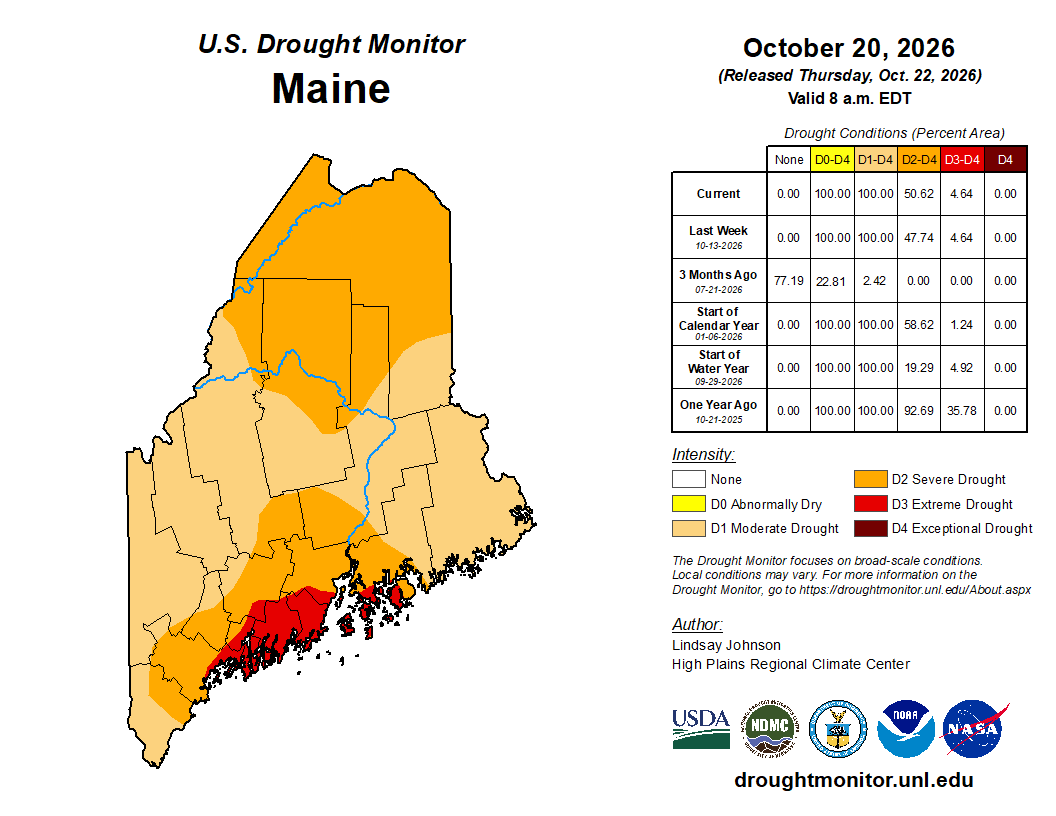
The latest U.S. Drought Monitor places all of northern and central Aroostook County in severe drought (D2), the third category on a five-level scale ranging from abnormally dry to exceptional drought. Statewide, more than half of Maine is experiencing severe or extreme drought, with conditions worsening across much of northern Aroostook during the past month.
The drought reflects precipitation shortages extending through 2025 and 2026. At Frenchville, precipitation since Jan. 1 totaled 23.02 inches, approximately 4.09 inches below normal. This makes 2026 the ninth driest year since 1998.
Farther south, Houlton has received just 71.1% of its normal precipitation, making this its fifth driest year to date since 1948.
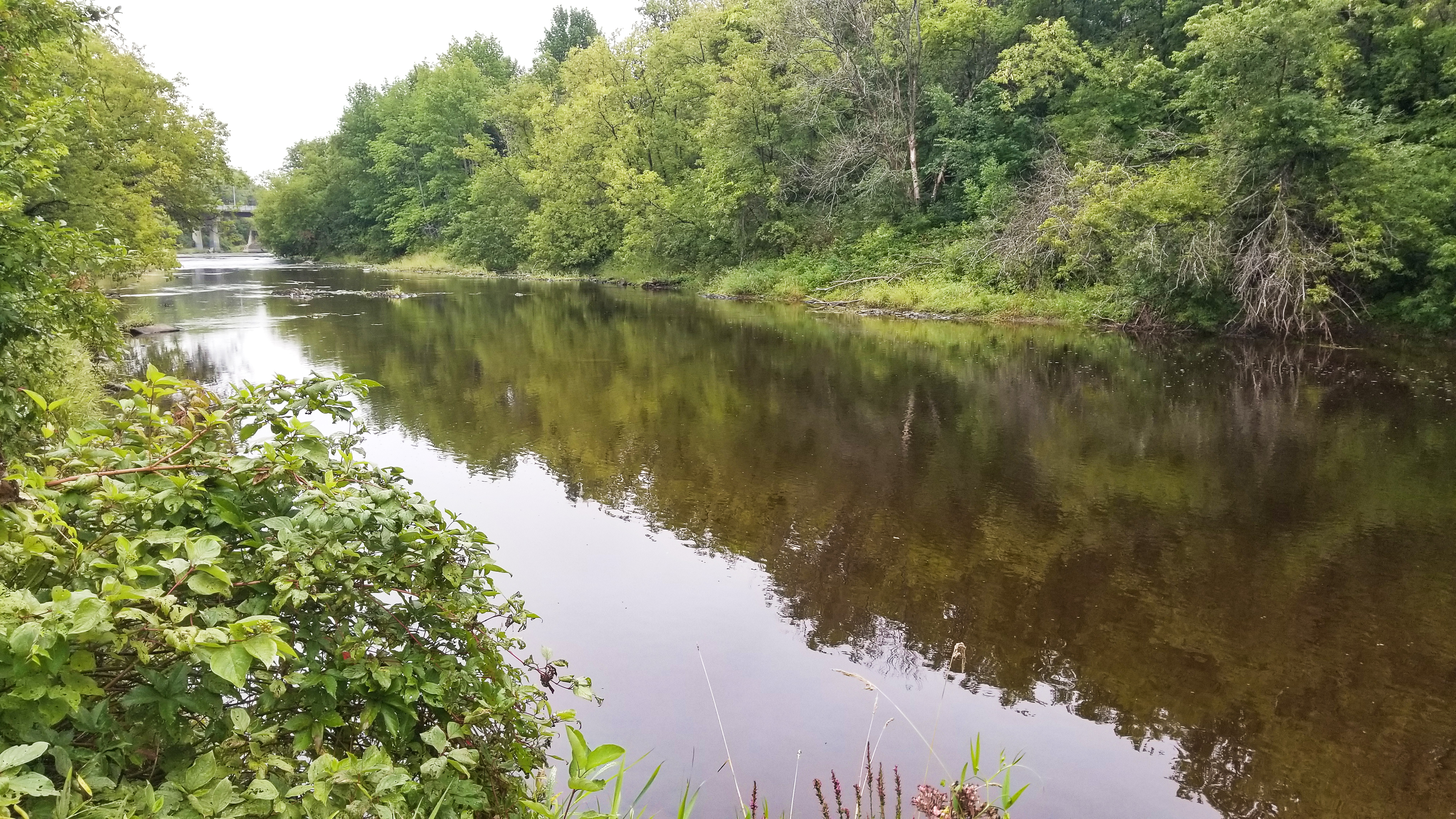
The effects are particularly evident in local waterways. According to preliminary U.S. Geological Survey measurements, the St. John River at Fort Kent recorded its ninth lowest flow since 1926 on Oct. 4. The Fish River at Fort Kent reached its ninth lowest flow since 1929 on Oct. 7, while the St. John River at Nine Mile recorded its second lowest flow since 1950 on Sept. 27.
Groundwater conditions are also concerning. Monitoring wells at Clayton Lake and Millinocket are approaching record-low levels. At Fort Kent, groundwater remains near the lower end of the normal range, but the weather service reports no meaningful recharge.
Declining water tables have created difficulties for residents relying on private wells, while reduced river flows threaten aquatic habitats and cold-water fish species.
Recovery will require substantially more than a few rainy days. Weather service estimates suggest that portions of northern Maine would need approximately 8.5 inches of precipitation in one month, or 12 inches over two months, to eliminate existing drought conditions.
Little immediate relief is anticipated. Forecasters expect predominantly dry weather through Oct. 29 and warn that drought conditions may deteriorate further over the next seven to 14 days.
Looking ahead, a potentially strong El Niño could favor milder and wetter conditions during the coming winter, offering opportunities for increased runoff and groundwater replenishment. However, frozen ground and reduced snowpack could limit those benefits, particularly in northern Maine.
Full groundwater recovery may not occur until winter 2026 or spring 2027, according to the weather service.
For Aroostook County residents, the implications extend beyond dry weather. The continuing depletion of rivers, lakes, and groundwater underscores the need for sustained precipitation to restore the region’s water resources.
The complete drought information statement is available at the National Weather Service’s Caribou page.