PRESQUE ISLE, Maine — State and local officials are working on creating a 320-mile bike route from Bangor to Fort Kent as part of an effort to boost tourism in northern Maine.
The Northern Maine Development Commission is working with the Maine Department of Transportation and several bicycle groups to have a federally designated bike route from Bangor to Fort Kent, similar to U.S. Bicycle Route 1 from Kittery to Calais, said NMDC senior planner Jay Kamm.
The Bangor to Fort Kent route would be part of a national long-distance cycling network known as the U.S. Bicycle Route System, Kamm said. The network uses multiple types of roads, including low-traffic local roads and scenic byways, and offers communities along the route opportunities to promote themselves to long-distance bike riders and other visitors.
“From a tourism and economic development standpoint, it brings a different group of visitors to our region,” Kamm said.
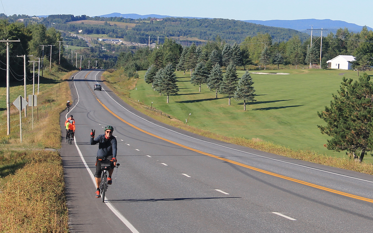
Aroostook County recently hosted the 2018 BikeMaine ride, a group ride organized by the Bicycle Coalition of Maine with more than 400 riders touring central Aroostook County and the St. John Valley. That event was a big success and may help put Aroostook County on the map for bike enthusiasts, Kamm said.
The Bangor to Fort Kent route is designed for both long-distance bike riders interested in a self-paced bike tour of northern Maine, as well as people who may be interested in riding smaller stretches of a designated route, the planner said.
“We are trying to promote new visitors to the region. Families probably won’t do the entire 320-mile route,” he said. “But say we’re coming to visit Houlton or Patten, here’s a route in place that we’d like to do. It’s a huge opportunity for people to pick shorter rides when they’re visiting.”
There is no cost to the local communities along the route, and the designation is largely a sign and map program, Kamm said. The route would be based on roads that are already well suited to bicycle riders, with relatively low traffic and wider road shoulders.
Kamm said he and others spearheading the project have driven the entire 320-mile proposed route. Starting in Bangor, the route would roughly follow Route 2 to Mattawamkeag, then head west to Medway and the area around the Katahdin Woods and Waters National Monument.
It route then would head north to Patten, east toward to Houlton and north again through central Aroostook County into Van Buren and the St. John Valley. It would include stretches on Route 1 and stretches on back roads through Mars Hill, Presque Isle, Washburn, Caribou, Woodland and New Sweden.
Kamm said the route would offer bicyclists a rural, scenic route that includes stops in larger communities and a range of cultural tourism opportunities. Most of the route also has good cell phone coverage and is within a reasonable distance of emergency services.
“We didn’t want to be so remote that should something happen, emergency services aren’t place.”
The effort for the designation started this past summer and the application is due next August, with the formal designation and signage hopefully starting in spring of 2020, Kamm said.
The planner said he’s spoken with leaders from most of the communities along the route and received strong support. The group also is welcoming feedback from community members and cyclists.
NMDC will be hosting a public workshop on the proposal a 9 a.m. Wednesday, Nov. 7, at Presque Isle’s Sargeant Family Community Center.
“We’d like to have feedback and see local buy-in and local groups that look at the bicycle route as a scenic byway,” Kamm said.