PRESQUE ISLE, Maine — The PROBUS Club of Central Aroostook met July 20 at Northern Maine Community College in Presque Isle.
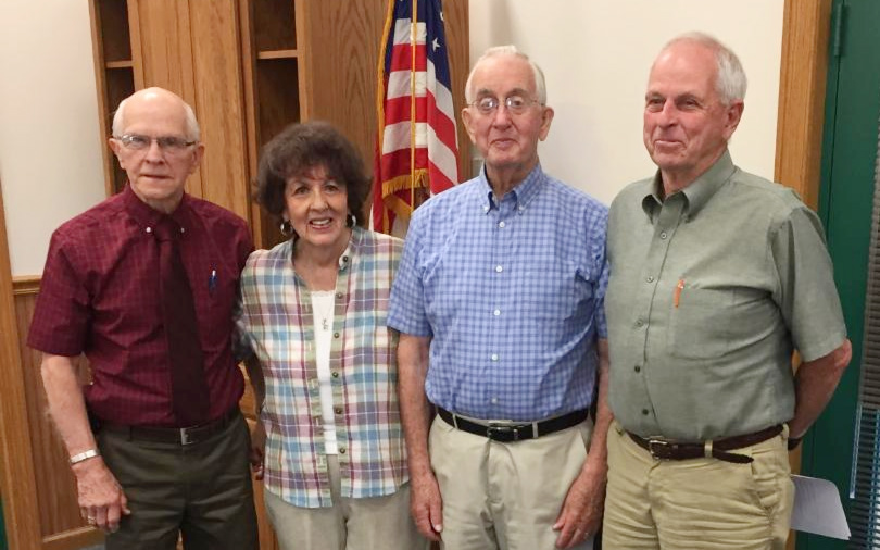
The new slate of officers for August 1, 2018 to July 20, 2019 includes: president, David Maxcy; vice president, Thomas Lunn; secretary, Lucille Hay; treasurer, Gerald Gallagher; and assistant treasurer, Richard Barker.
Program chairman Dana Crory introduced the guest speaker, Stephen Bodge, of the Maine Department of Transportation. Bodge is the project manager who oversees bridge projects and all other aspects of design, including geotechnical designs and right-of-way operations.
Dennis Lovely, construction supervisor, was also present to answer questions.
Bodge gave an overview of the ongoing Presque Isle bypass project, the first phase of which has been in the making since 1999. Several alignments were looked at as to their impact on the environment, landowners, the public, safety issues and wildlife.
The whole aim of the bypass is to reduce travel times through the Presque Isle downtown area, especially for the huge trucks. No entrances or exits are allowed on the bypass. Controlled access is the highway’s design.
Stage I, which is presently being constructed, goes from the Conant Road to the Fort Fairfield Road, which is Route 167. This section was begun in October 2016. It has 12-foot travel lanes and wide shoulders, with allowances made for snowmobile and ATV trails.
Ed Pelletier Builders and Construction were chosen for the $8 million job, to be completed this fall. Funds were provided through federal, state and grant monies. Pelletier are completely on schedule, said Bodge, and will finish the whole project of Phase I section by November 2018.
When cuts are made in the earth, he said, the excess soil is used to fill other areas of the road, much of which was solid bedrock. Some cuts were 35 feet in height and dug right through the winter months. A land bridge was built to go over State Street , where traffic was closed at times to make the construction much easier. There is a 2 percent slope on the pavement gravel underlays so that the water runs smoothly off into the constructed ditches.
Paul Cyr took several aerial photographs of the project and Beecher Whitcomb was always present to take ground-level pictures. These photos proved helpful to the project work.
Phase II of the project will go from Westfield to the Conant Road, a distance of 5.9 miles. It will cross Clark Brook and have four new bridges