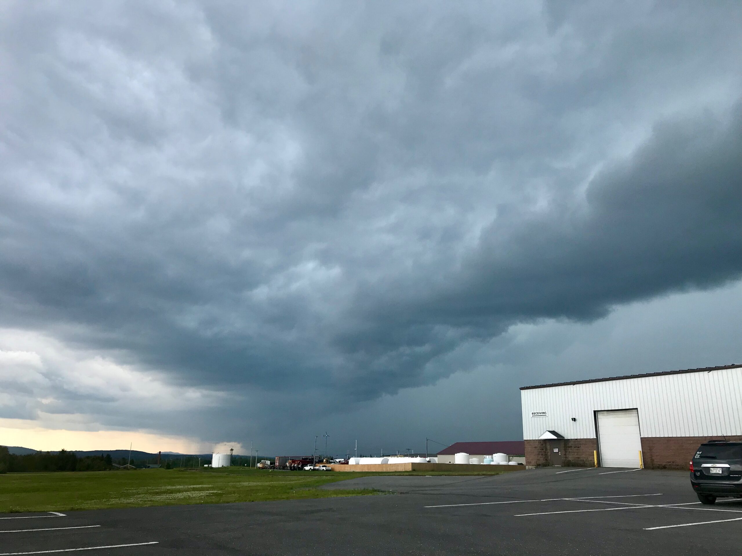
CARIBOU, Maine — Much of the state is under a hazardous weather outlook for this afternoon and this evening due to the potential for strong thunderstorms.
Despite the sun and heat of the past few days, meteorologists at the National Weather Service in Caribou said Wednesday that a cold front crossing the region today will produce strong thunderstorms with heavy downpours and dangerous cloud to ground lightning.
Some of the storms may be accompanied by damaging winds.
The warning extends for all of Aroostook County and the majority of the state, except for a swath of territory from Portland to Eastport.
The area of strong thunderstorms will move from Piscataquis County northeast into The County, according to the weather service.
Parts of The County saw significant thunderstorms last night, with lightning in some areas.
Melissa Mitchell of Camden was visiting her mother in Madawaska and said she and the other guests in the home watched as lightning crackled across the sky.
“There were some pretty significant strikes,” she said Wednesday. “Lightning has always frightened me, anyway, so we were all kind of huddled together just wishing it would stop.”
The thunderstorms last night dropped heavy rain across the St. John Valley, according to forecasters. Radar estimates of two inches or greater was recorded, while 1.77 inches was picked up at the Frenchville Airport.
Localized heavy rain will be a threat once again today, as some of these storms may be accompanied by damaging winds and small hail. Heavy downpours may accumulate on roads and minor urban and small stream flooding is possible.


