CARIBOU, Maine — With an updated campground ordinance and a new committee in place, the city of Caribou is continuing its push to revitalize the riverfront district.
Since approving a proposal for a new campground, to be located east of Limestone Street near the Aroostook River, city officials have taken steps to ensure that the region becomes more accessible to future business growth.
In December, the city council approved final changes to Caribou’s campground standards in its Land Use Ordinances. The most notable changes, originally approved in June 2021, allow a minimum of 3 acres of land in the R2, or Residential Mixed Housing Zone, and no less than 7 acres in the Rural Mixed Housing Zone, also known as R3, to be developed for campgrounds.
Typically, R2 is more densely populated with residential homes while R3 has traditionally allowed for the development of farms, campgrounds and similar businesses. The ordinance changes allow campgrounds to be developed in both districts, Code Enforcement Officer Ken Murchison said.
After councilors approved Troy Haney’s proposal for a campground in the R2 district last year, they revisited the campground standards and updated the language to be aligned with modern development goals.
For instance, the previous standards required a visual buffer between properties and the riverfront. That requirement has since been eliminated.
“It didn’t make sense to have something in place that blocked the view of the river from a campground,” Murchison said.
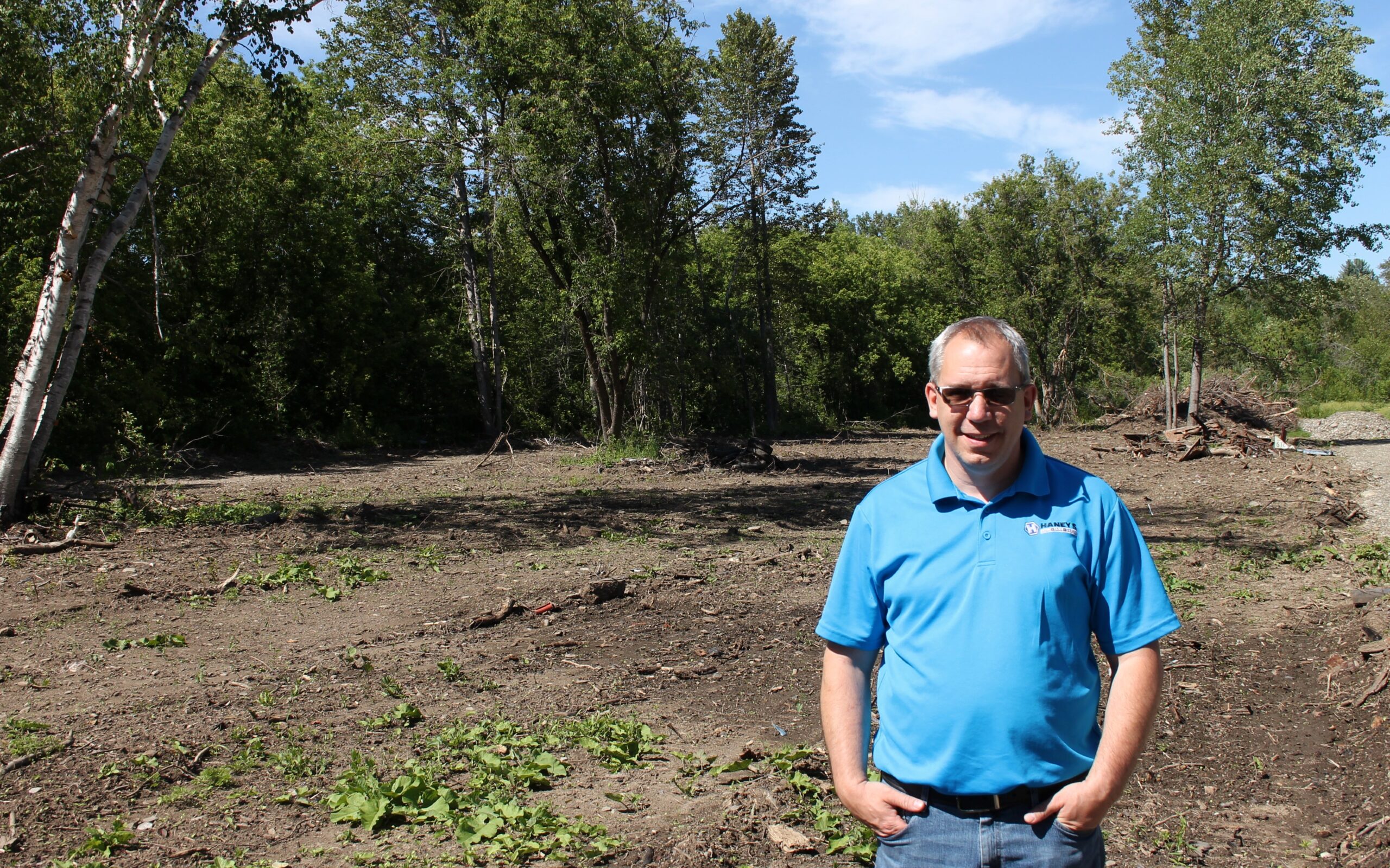
Thus far, Haney has built the main driveway headed into the campground. Once spring arrives, he will complete electrical and plumbing work and create separate spots for a total of nine campers. He is aiming for a June 2022 opening.
Haney said that the city has been proactive in amending the campground standards since learning of his business ideas. Given the renewed interest in the riverfront, he hopes to help start positive business trends.
“We’re hoping that other people will see what they can do with property in the area,” Haney said. “I think people sometimes forget how this land can be reworked into something nice.”
Several other businesses, including a climate-controlled storage facility, are also in development on and near Limestone Street, Murchison said.
The riverfront district is an unofficial, five-mile stretch of Caribou that runs from the Dow Siding Road, up Route 1 and onto Limestone Street along the Aroostook River. In the past decade, the area has mainly been underutilized as an industrial zone and is home to railroad tracks that no longer run regularly.
Members of the newly formed Caribou Riverfront Renaissance Committee hope to spark a “rebirth” of the riverfront area. The committee is developing a master plan that will outline how to rebrand and market the area as a potential business and recreational hub. The plan will allow the city to qualify for future economic development grant funding.
The committee hopes to create a walking trail that would connect the riverfront district with the boat landing on Lower Lyndon Street and with Water Street, making the area accessible to Caribou’s downtown. Other goals include attracting more businesses and exploring how to turn the riverfront into its own zoning district.
Murchison said that members of the public who want to join the committee or become involved with riverfront projects can attend committee meetings on the third Tuesday of each month. The next committee meeting will be held at 6 p.m. Tuesday, Feb. 15, at the Caribou Municipal Building, 25 High St.
“We’re very optimistic. This started as a grassroots group of people who believed that the riverfront is our best kept secret,” Murchison said. “Municipalities don’t have venture capital, but we have other ways to make the area more attractive to businesses.”


