

Katahdin Woods and Waters National Monument offers families and adventurers access to some of the nation’s most pristine natural wonders and ancient forests, but knowing where to begin exploring this landmark is a mystery for many, even locals.
The monument’s 87,500 acres contain mountains, waterways, bogs, wetlands and fields that are abundant with vegetation, ancient rock formations and endangered species such as the Canada lynx. Its pristine waters have served indigenous people for thousands of years and it has one of the only remaining dark sky sanctuary designations in the world.
Each year more than 40,000 people visit this area east of Baxter State Park, but unlike more developed National Park Service locations like Acadia or Yellowstone, many think there are few options for the casual day visitor looking for a scenic loop road, bathrooms and picnic areas.
And while it may be still in its infancy, park service staff and volunteers have been working to expand visitor opportunities.
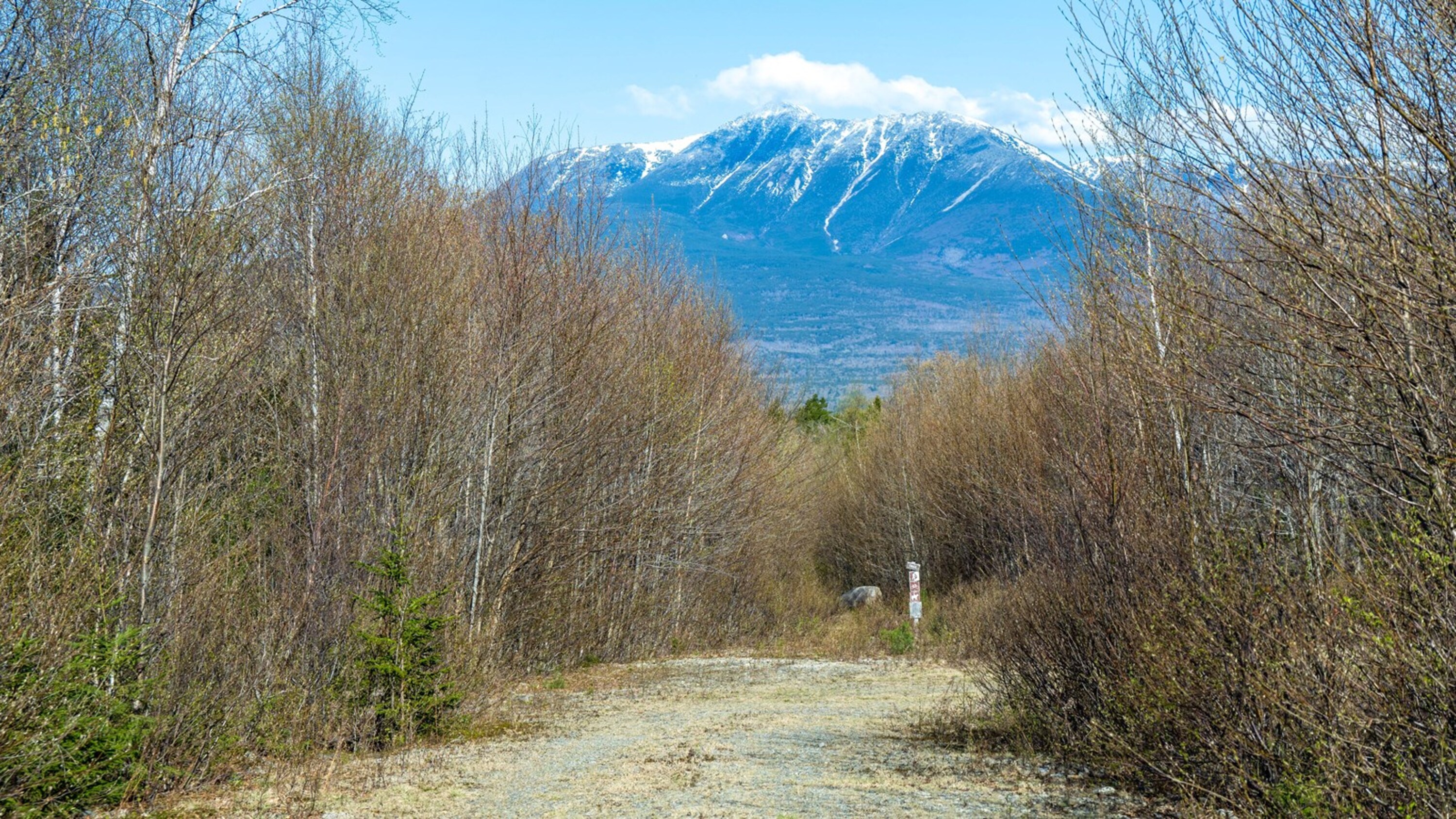
Designated a national monument in 2016, this is the monument’s 10th anniversary year and the park service wants to draw more people to the monument. The ranger team is developing public programs throughout the year to build more awareness, Superintendent Neal Labrie said.
Last year Tekαkαpimək Contact Station, which tells the story of the Wabanaki tribes’ use of the lands and features native art, was opened and has been “tremendously successful,” Labrie said.
But after people tour Tekαkαpimək, they wonder what else they can do.
“There are a lot of little short hikes all along the road that allow for a quick hike into a bog or to another overlook or just a nature trail through the forest,” Labrie said.
To make the experience better for visitors, NPS staff have developed interpretive panels that tell the story of the original hiking routes to Mount Katahdin that came through monument lands, Labrie said.
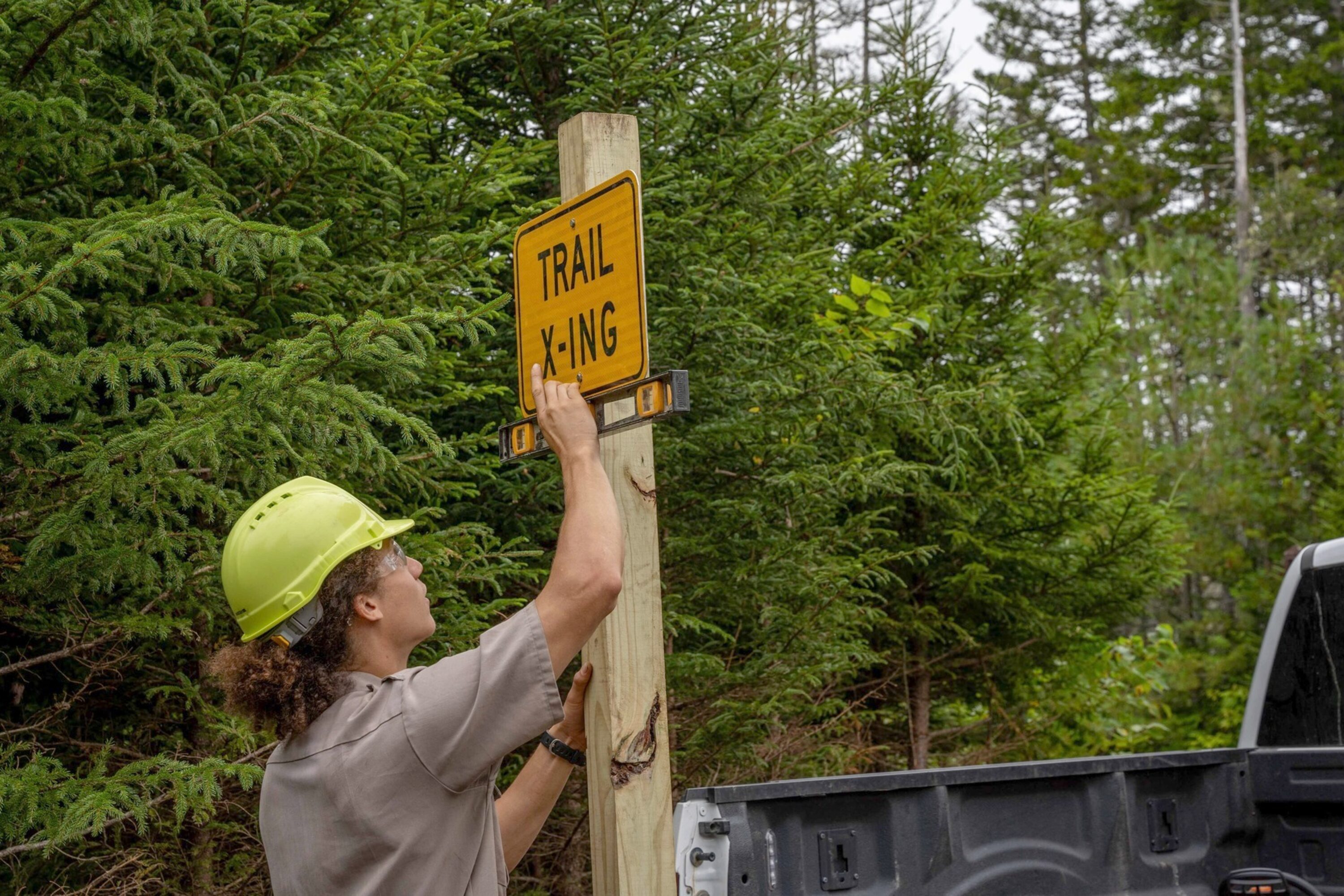
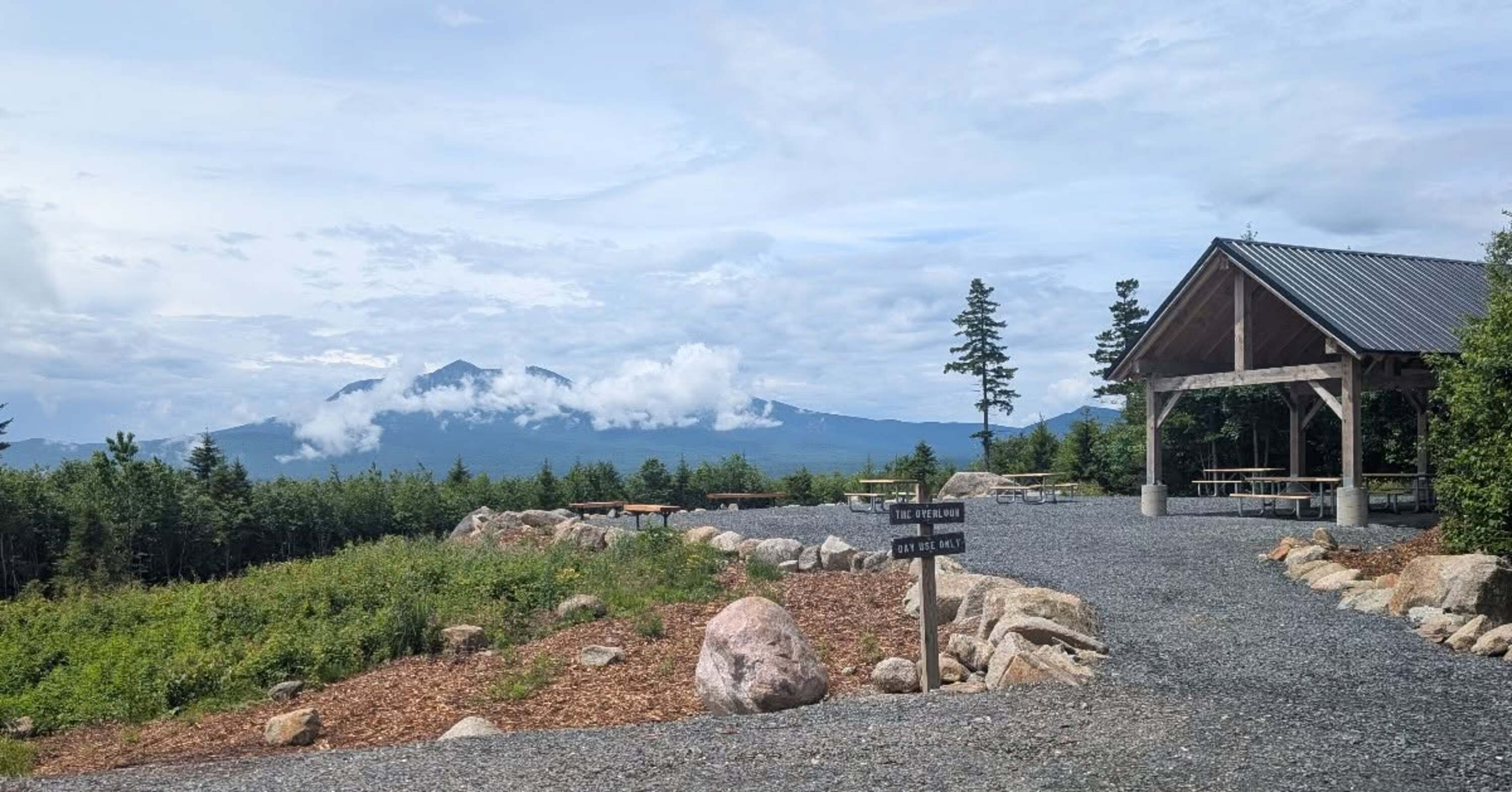
Wayfinding and direction signs are being installed and park service staff rehabilitated the Mount Katahdin Overlook with a new picnic area and shelter that is now open.
“There’s an amazing view across the valley and up to Katahdin. And there are some limited facilities, picnic tables, a shelter, a new vault toilet and vehicle access,” Labrie said.
With the help of the National Park Service, the Bangor Daily News came up with stops along the Katahdin Loop Road to get you started.
Early morning ranger birdwalks
Take an early morning birdwalk with National Park Service staff every Saturday or Sunday from 8 to 9 a.m. through Sept.5. Explore the abundant resident and migratory birds including raptors, warblers and songbirds while walking the paths surrounding the easily accessible Tekαkαpimək
Contact Station. Check out the NPS app for driving directions to the station.
Easy, 5-stop, day hiking trip
Take in a one-day, family friendly five-stop ecology and geology experience in the southern section from Swift Brook Road to the Loop Road entrance. The stops are Katahdin Loop Road entrance, Deasey Ponds Trail, Katahdin Overlook, Lichen Trail and Lynx Pond.

Stop No. 2: Deasey Ponds Trailhead is about 2.8 miles down the Loop Road with two short hiking options through a boreal forest or to wetlands across the road from the parking area. At the pond, visitors can see glacial clues of its past popping up from the water. Vault toilets are available at this stop.
Stop No. 3: Continue along the Loop Road to the newly refurbished Katahadin Overlook for sweeping vistas of Mt. Katahdin and a picnic. Over the past two years, the overlook has been revitalized with a new picnic area with six tables, benches, a picnic pavilion and a vault toilet.
Stop No. 4: The Lichen Trail north of the Katahdin Overlook, just off Katahdin Loop Road is an out-and-back 1.2 mile hike that also connects to the Rocky Pond Road multiuse trail for a longer experience. Park service staff suggest looking for colorful pink earth lichen on the sun exposed surface of the trail. There is no potable water, so bring your own, rangers said.
Stop No. 5: On to Lynx Pond along the Loop Road. A short .2-mile ADA accessible trail leads to a viewing platform at Lynx Pond where you might just see a moose, according to park service staff.
Moderate 3-stop day hike with water access
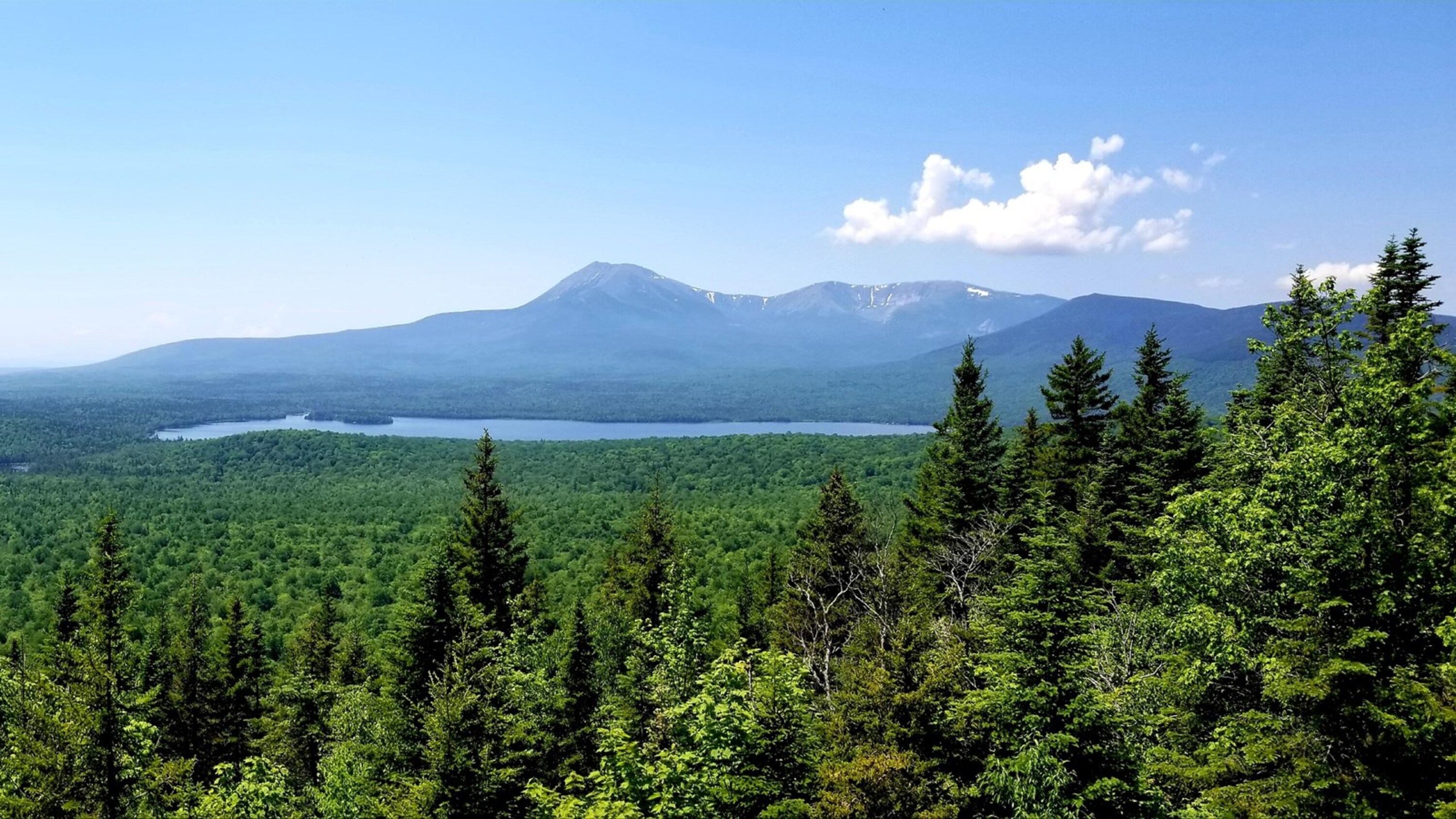
Drive the Loop Road, stopping by Lynx Pond. Continue on to mile 12 of the Katahdin Loop Road for a 4-mile round-trip 1,558 feet hike up Barnard Mountain. And wrap-up the day at Lunksoos Boat Launch on the way out.
The Barnard Mountain hike begins on an old logging road that initially passes through deciduous forest. Although the ascent changes at higher elevations, passing through boreal forest and glacial erratics, according to the National Park Service. Biking is not permitted on the trail up to Barnard Mountain.
Lunksoos Boat Launch is a small gravel boat launch near the historic site of Lunksoos Camps. It offers a put-in point for paddlers wishing to head upstream to the river’s confluence with the Seboeis, or downstream to Whetstone Falls and the main stem of the Penobscot beyond.
Picnic tables and a vault toilet are at this location.
Difficult 10-mile Deasey Mountain day trip
Deasey Mountain is a favorite hike among more experienced hikers with its secluded, unique forests, rivers and views at the top.
Katahdin Woods and Waters highest peak at 1,942-feet, Deasey Mountain offers 360-degree views. The trail is accessed via the International Appalachian Trail toward Orin Falls with a turn at Wassastaquoik Stream Road and across the so-called Wild and Scenic Wassataquoik River. The trail continues through old forests and along streams until reaching the summit which near the top is steep, according to the park service.
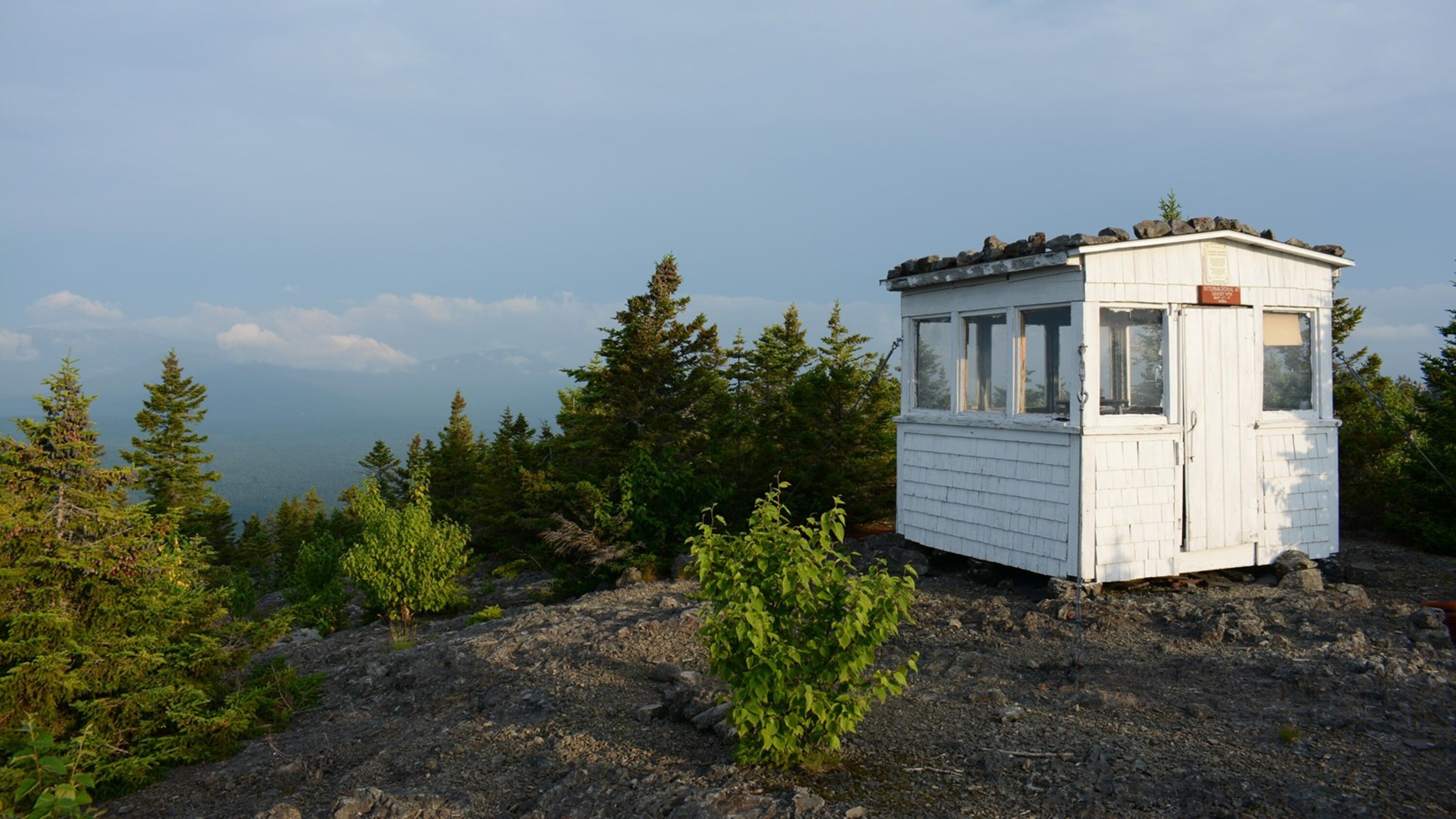
The historic Deasey Mountain fire lookout, constructed by the Maine Forest Service in 1929 and used for fire detection until 1969, is still standing at the summit. There is a vault toilet located in the parking area at the Wassataquoik Gate trailhead and parking is available at the trailhead on Orin Falls Road.
There are three official access routes into the monument at Swift Brook Road, for the south entrance and the Katahdin Loop Road; New River Road, for the north entrance; and American Thread Road, for access to the Seboeis parcel.
For directions and transportation, rangers suggest the National Park Service App for up-to-date calendars, events, directions and advisories.
Some GPS direct travelers to Stacyville Road but according to the NPS, Stacyville Road is not suitable for most vehicles. “This is an unmaintained, high-clearance 4WD road, not suitable for passenger cars, RVs, or inexperienced drivers,” they said.
Visitors should know that monument roads are unpaved and cell reception is spotty. Always plan in advance by visiting nps.gov/kaww or downloading the NPS app, and be prepared with maps, water, food, and a spare tire.
Here are some other day adventure tips from The Friends of Katahdin Woods and Waters:
Fish the East Branch Penobscot River
Hike to One of the Best Summit Views in Maine
Stargaze in this International Dark Sky Sanctuary
Understand Wabanaki Past, Present, Future On This Land at Tekakapimek Contact Station