Maine is such a diverse state, from the massive mountains in the western part of the state, to the rolling central highlands, to the blueberry bogs of the Downeast region, and finally to the most beautiful “garden of Maine,” Aroostook County.
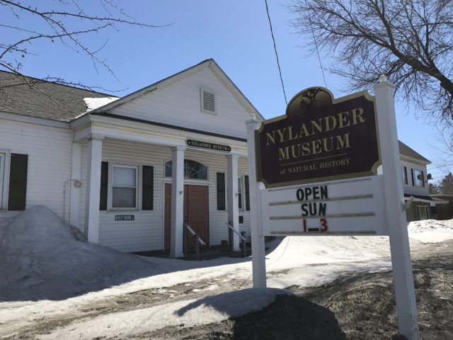
It is not surprising that most people know nothing of what lies beneath the flora and fauna of this great state. A geological or rock collection is permanently on display at the Nylander Museum of Natural History at 567 Main Street, Caribou. An extensive collection of over 438 different labeled rock samples, of which many are from a 60-mile radius around Caribou, is on display. The collection is mostly from Professor Olaf Nylander’s lifetime of collected specimens from Maine, New Brunswick and the province of Quebec.
Dozens of samples were also sent to the collection from various people around the state, and their names are acknowledged beside their specimens.
Of additional interest is a 4-by-5-foot colored map of the state of Maine, showing all of the patterns of rock formations in the state. All are color coded. A strip of yellow extending from the St. John River Valley all the way to Hodgdon indicates a limestone subsurface. This calcium rich limestone or “lime” base has made the County known worldwide as the potato-growing capital.
The map was prepared by the University of Maine at Orono, Bowdoin College, Colby College and Harvard University. It was published in 1967. The map shows that just in Aroostook, there are 32 sub-rock families.
So if you find a rock in your own backyard, bring it to the Nylander Museum and see if you can match it with one of Mr. Nylander’s specimens. There are also reference books on site for further explanations of rocks in your own backyard.
This column is the work of members of the Nylander Museum’s Board of Trustees.


